Geospatial
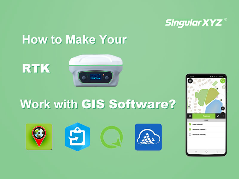
Tech Chat | How to make your RTK work with GIS software?
Although both belong to the geospatial industry, GIS and surveying have different tendencies in the selection of equipment for point surveying work. GISers are more concerned about the compatibility with GIS software and the portability of equipment, while surveyors pay more attention to the accuracy and measurement-related performance.
Read more