Barion Pixel

Blog

Geospatial

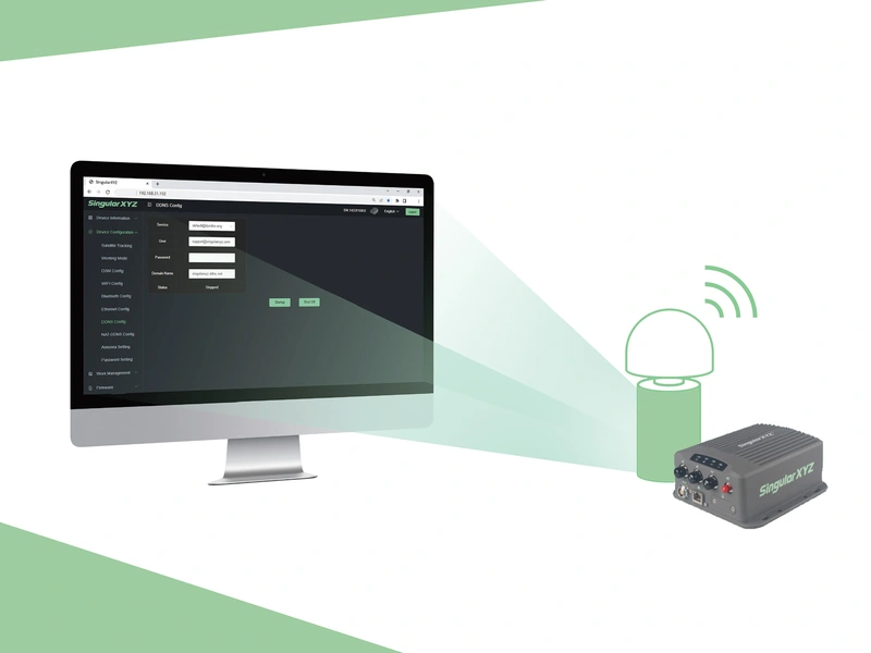
Tech Chat | What is DDNS & how does it benefit CORS management?

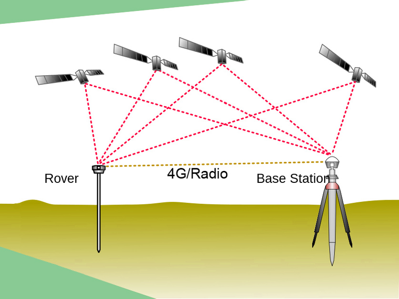
With more and more horizontal and vertical industries require high precision positioning & heading via GNSS RTK technology, to set up the base station every time seems time-wasting and coverage-limited. So many governments and companies have started to build CORS networks to solve this issue. CORS is becoming the infrastructure for our life and work.
Read more
Geospatial

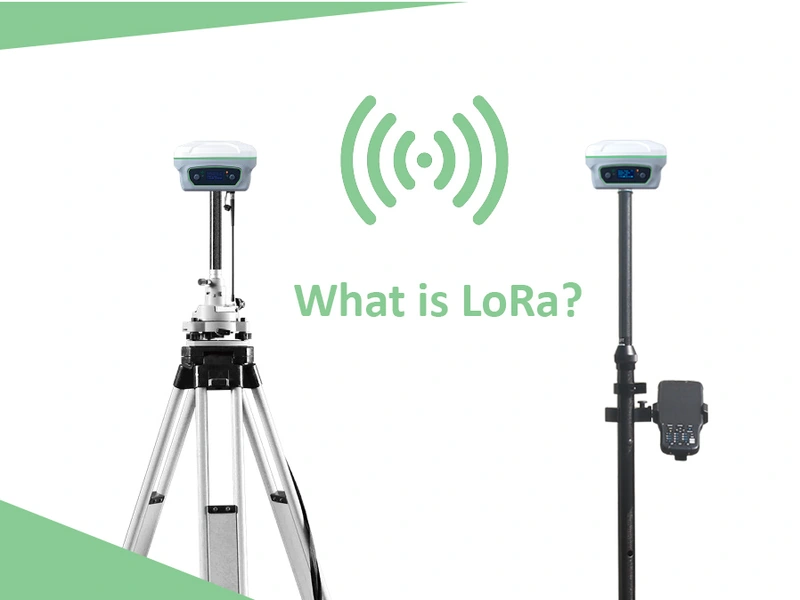
Tech Chat | What is LoRa?

For most RTK users, radio is a common method of differential data transmission with no network coverage requirements. However, due to the limited transmission range and high power consumption, most RTK receivers require an external power supply and an external radio to increase the range. Only a few can guarantee a range of 15 km with internal radio. Our Y1 GNSS receiver can make it, which benefits from the built-in LoRa module.
Read more
Geospatial

Tech Chat | Which is better among Static Survey, RTK or PPK?

With the rapid development of the high precision GNSS industry, the GNSS surveys are becoming more and more popular worldwide. When selecting the GNSS products, we can see the static accuracy, RTK accuracy and PPK accuracy in the specifications. Of these common GNSS measurement methods, is the higher accuracy the better? What's the difference between these methods, and in which applications should we choose which corresponding method?
Read more
Geospatial

Tech Chat ‑ What is Localization in Surveying Project?

The first step of starting a surveying project is to set the coordinate systems. Normally, the surveying software will include global or country-wide systems for you to select. However, some local projects will use the local small-scale coordinate system. At this time, the general coordinate system in the software is no longer applicable, and the surveyor can transform the coordinate system through the localization function.
Read more
Geospatial

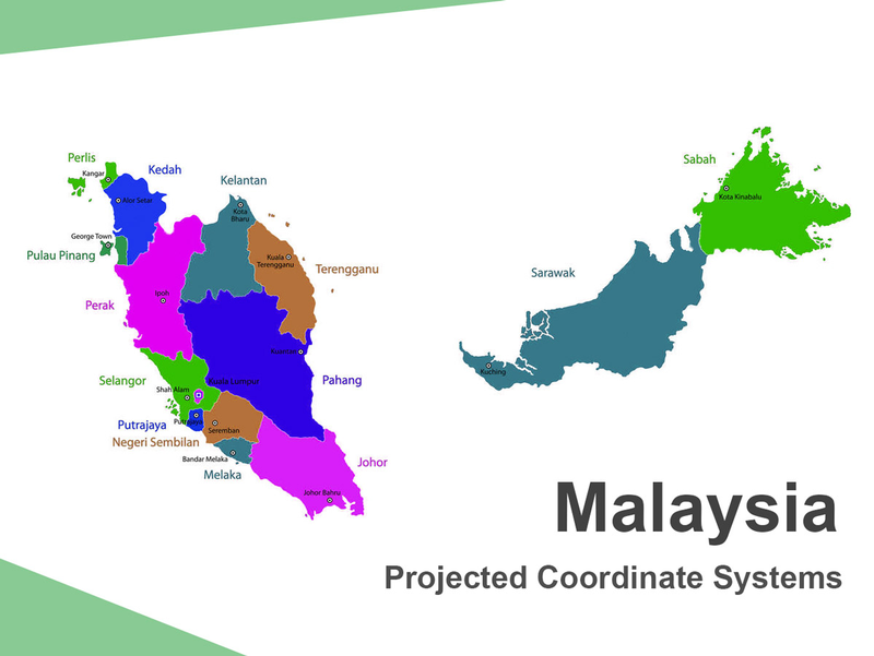
Tech Chat | Projected Coordinate Systems ‑ Malaysia Datum introduction

As is known to all, we often use ellipsoid models to simulate the earth in geodesy, such as the common WGS84 ellipsoid. However, due to the differences in terrain and topography in different regions, the ellipsoid model cannot perfectly fit every corner. Therefore, different ellipsoids and projections are used in different countries and regions, and people often carry out measurement work through a projected coordinate system that is more consistent with their local terrain.
Read more
Geospatial

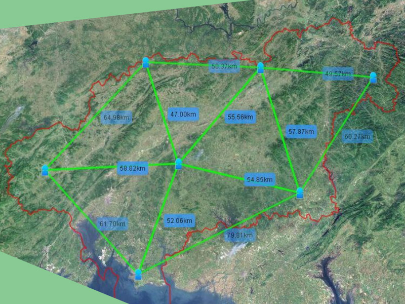
Tech Chat | How does CORS work?

CORS system (Continuous Operational Reference System) is one of the development hotspots of modern GPS, which introduces the concept of network into the application of geodesy. The establishment of this system not only brings huge changes to the surveying and mapping industry, but also brings new ideas and modes to the spatial information service in the modern network society.
Read more