Barion Pixel

Blog

Geospatial

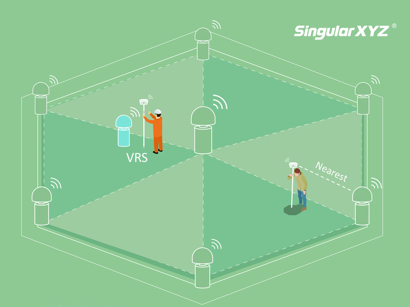
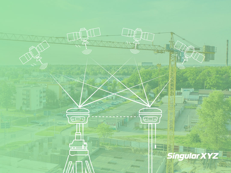
Tech Chat | What is VRS and its advantages?

With the popularization of RTK technology in all walks of life, the global CORS coverage is getting higher and higher. Many surveyors, GISer, farmers, etc. started to use CORS instead of setting up RTK base stations themselves.
Read more
Geospatial

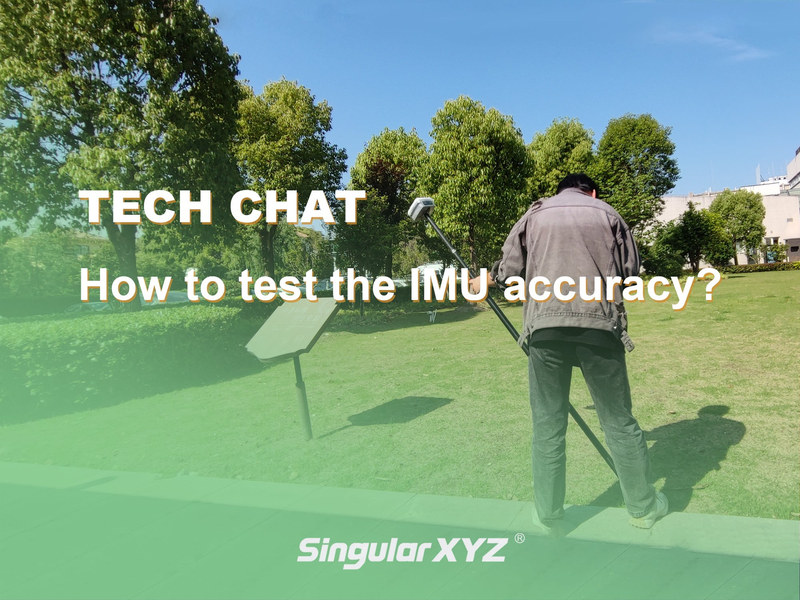
Tech Chat | How to test the accuracy of IMU?

In past blogs, we've introduced what IMU is and how it works on our Y1 GNSS receiver. Nowadays, more and more GNSS receivers integrate IMU module for greater convenience and higher efficiency. So to judge the performance of the IMU function become a focus. Today, we will introduce a conventional method of testing the accuracy of IMU, so that you can test your own equipment.
Read more
Geospatial

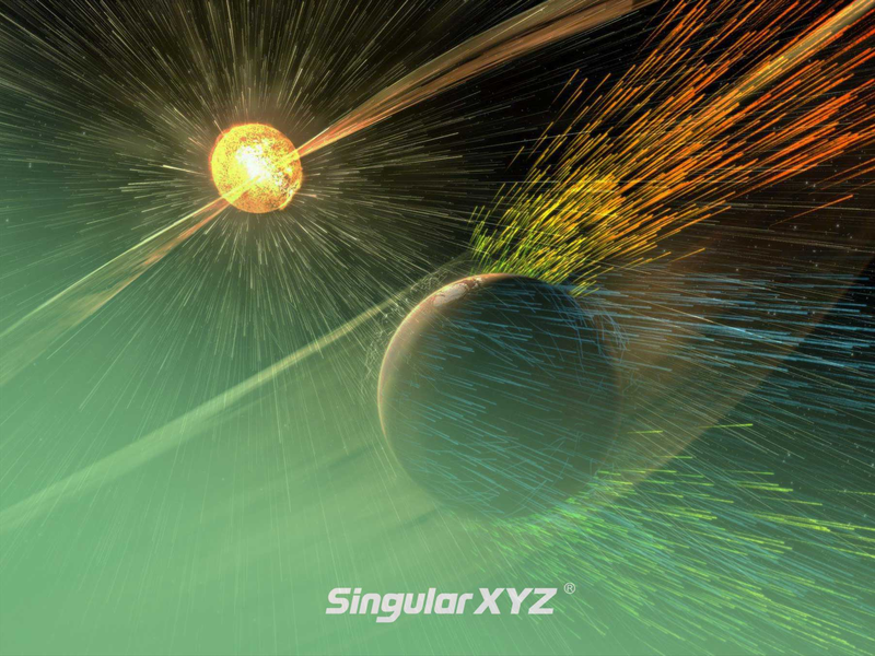
Tech Chat | How do solar storms affect RTK surveying?

For sophisticated surveyors, you may have experienced a time when RTK equipment suddenly became difficult to fix, even with perfect equipment in an open sky view. After that everything went back to normal. This is most likely caused by a solar storm.
Read more
Agriculture

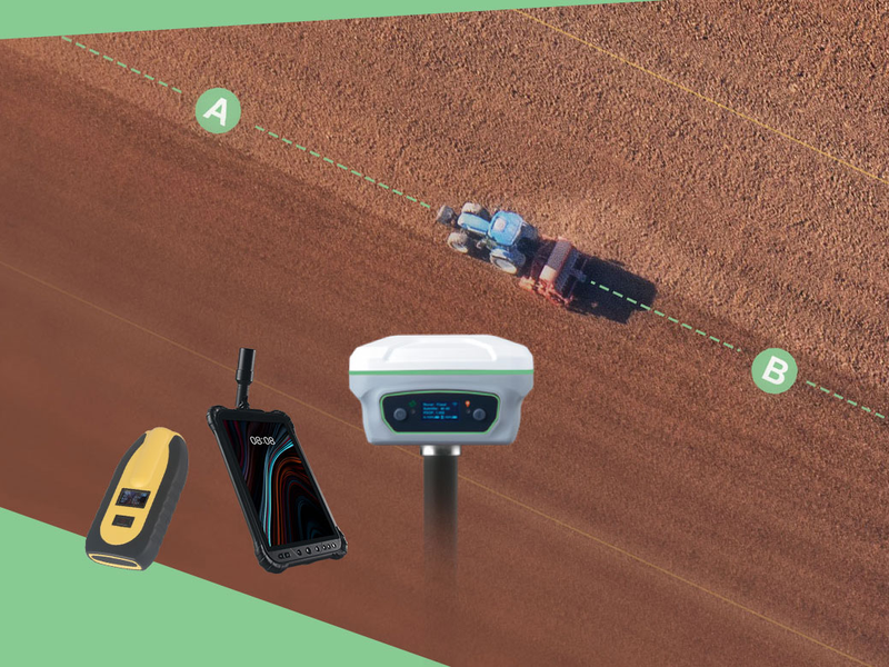
Tech Chat | How to measure AB guidance line for auto‑steering systems?

When using an auto-steering system for farming tasks, the first thing is to create the route. In common Straight line mode, normally we will drive the tractor to the start of the line to mark point A, and drive to the end of the line to mark point B. Then the software will generate the auto-steering route based on these two points.
Read more