Barion Pixel

Blog

Geospatial

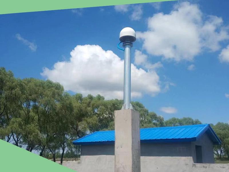
Tech Chat | How to build your CORS server for free with Alibaba Cloud?

In our previous blogs, we introduced a free method using Amazon Cloud & SNIP for beginners who want to build their own CORS platform. However, some of our SV100 users recently said that the 750hrs free trial period of Amazon Cloud is a bit short. So in today's blog, we will share a new method of free trial throughout the year – how to build your CORS server with Alibaba Cloud?
Read more
Geospatial

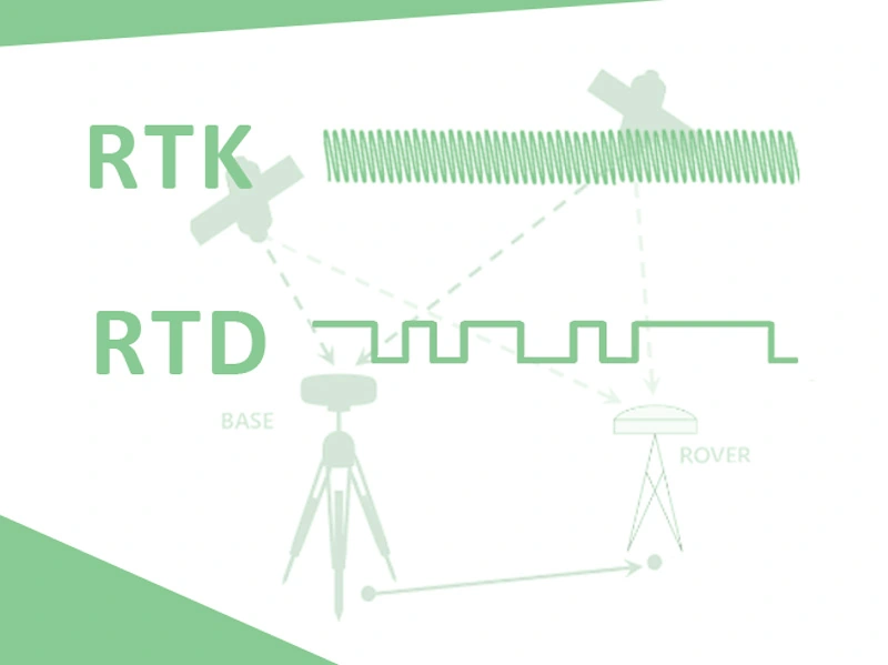
Tech Chat – What’s the difference between RTK & RTD?

In order to obtain higher accuracy of GNSS, we usually use DGPS (Differential Global Positioning System) to help improve accuracy. Both using the differential data to correct GNSS positioning, what’s the main difference between RTK (Real Time Kinematic) and RTD (Real Time Differential)? And what are the differences in their application fields? Let's discuss it in today's blog.
Read more
Geospatial

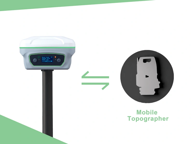
Tech Chat | How to make your RTK work with Mobile Topographer?

Different users have their own work habits and preferred software. In order to facilitate our vast user groups, our RTK products are compatible with common field surveying software and GIS software on the market. Today we will take Mobile Topographer as an example to see how we can make our Y1 GNSS receiver work with it.
Read more
Geospatial

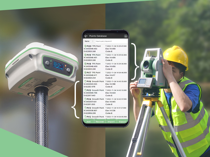
Tech Chat | How to combine total station & RTK receiver surveying?

To obtain higher efficiency, nowadays more and more large-scale projects combine total station and GNSS receivers to complete complex survey tasks. But in this case, the most troublesome thing is the subsequent processing of point data in different coordinate systems. If data problems are found after processing, users may even need to do some re-measurement.
Read more