Barion Pixel

Blog

Geospatial

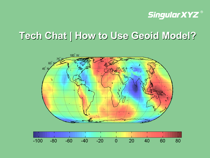
Tech Chat | What is geoid model and how to use it?

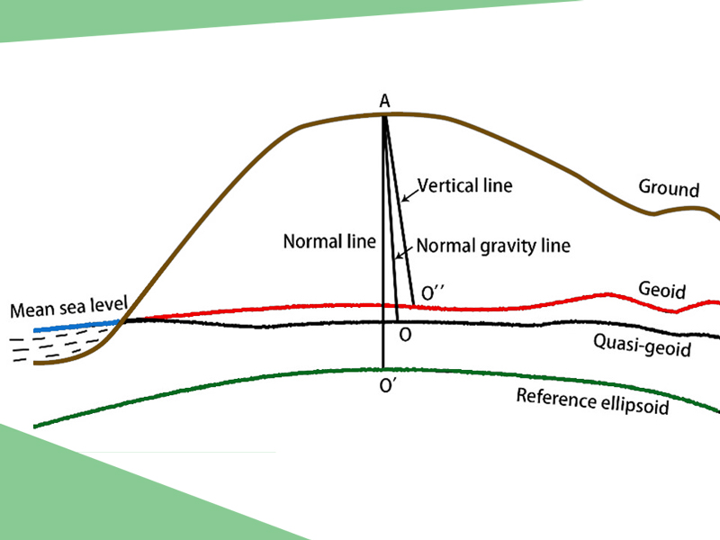
In previous blogs, we explored the distinctions between three common height measurements—geodetic height, normal height, and orthometric height. In our daily RTK surveys that based on reference ellipsoids, we primarily encounter geodetic height. However, sometimes we may need normal height that aligns better with the local terrain.
Read more
Agriculture

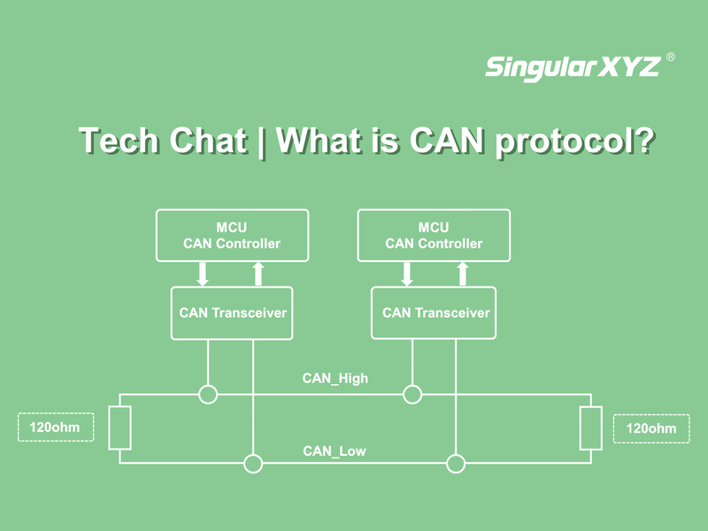
Tech Chat | What is CAN protocol?

In today's rapidly evolving world of agriculture, where precision and efficiency are paramount, GNSS technology plays a pivotal role in maximizing yields while minimizing resource consumption, such as our SAgro100 GNSS Autosteer System.
Read more
Geospatial

Tech Chat | Mastering Road Stakeout with SingularPad – Part 1

In the realm of civil engineering and construction, precision is the bedrock of success. To ensure the creation of safe and functional roads, the practice of "road stakeout" takes center stage. In this blog, we will introduce you to the process of initiating road stakeout tasks using the SingularPad field software.
Read more