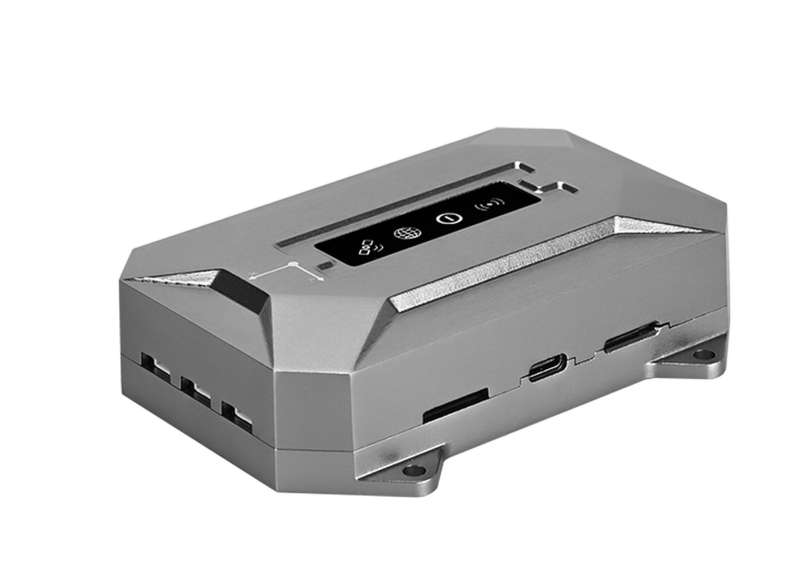
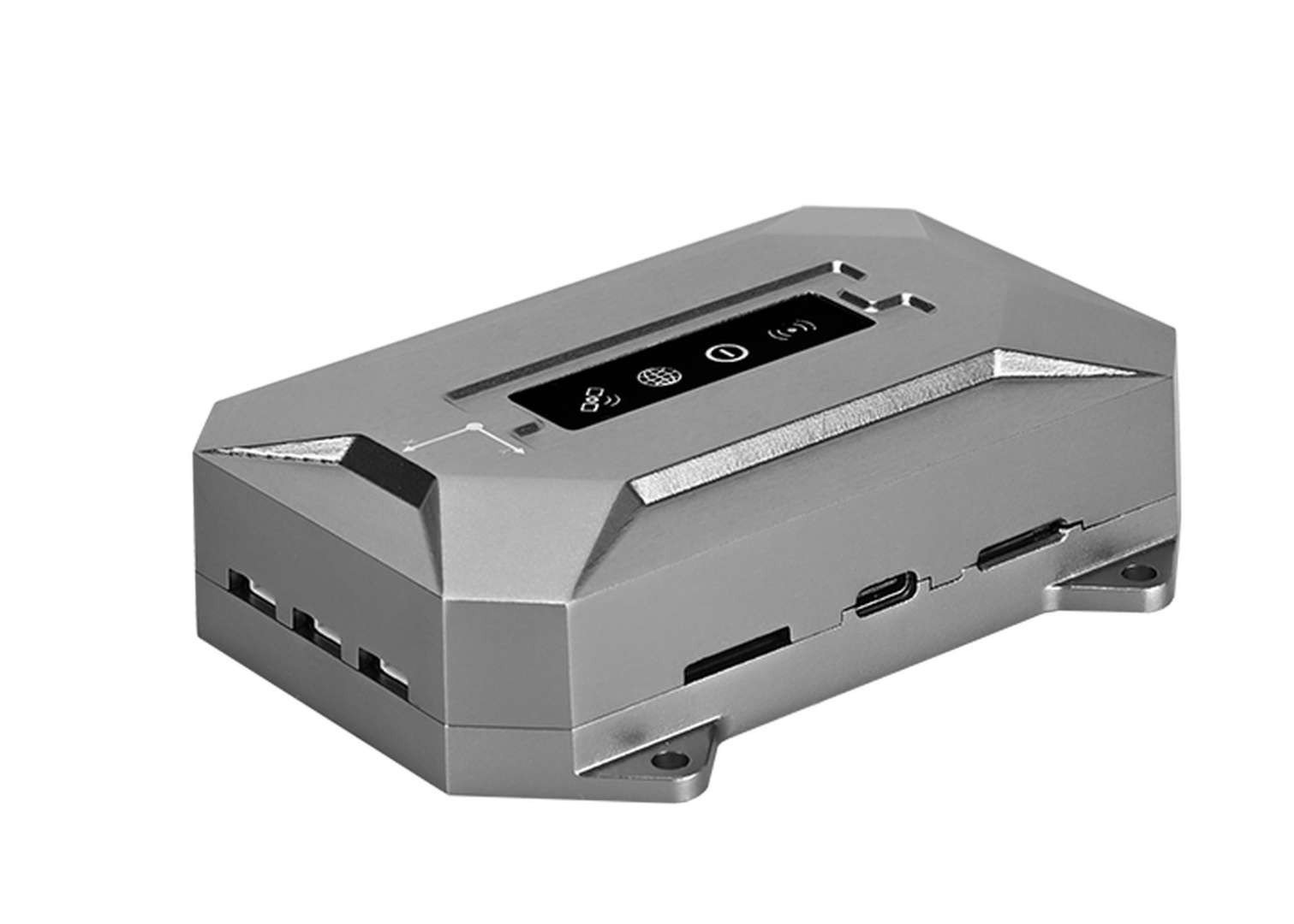
SV200 INS GNSS Receiver
Fusing GNSS and INS for Reliable Navigation More| Product number | SV200_INS |
| Quantity unit | pc |

Key Features

GNSS+INS Fusion
Combining full-constellation GNSS with advanced INS technology, the SV200 INS delivers reliable centimeter-level positioning, velocity, and attitude information, ensuring stable navigation in challenging environments.
Precise When Signals Loss
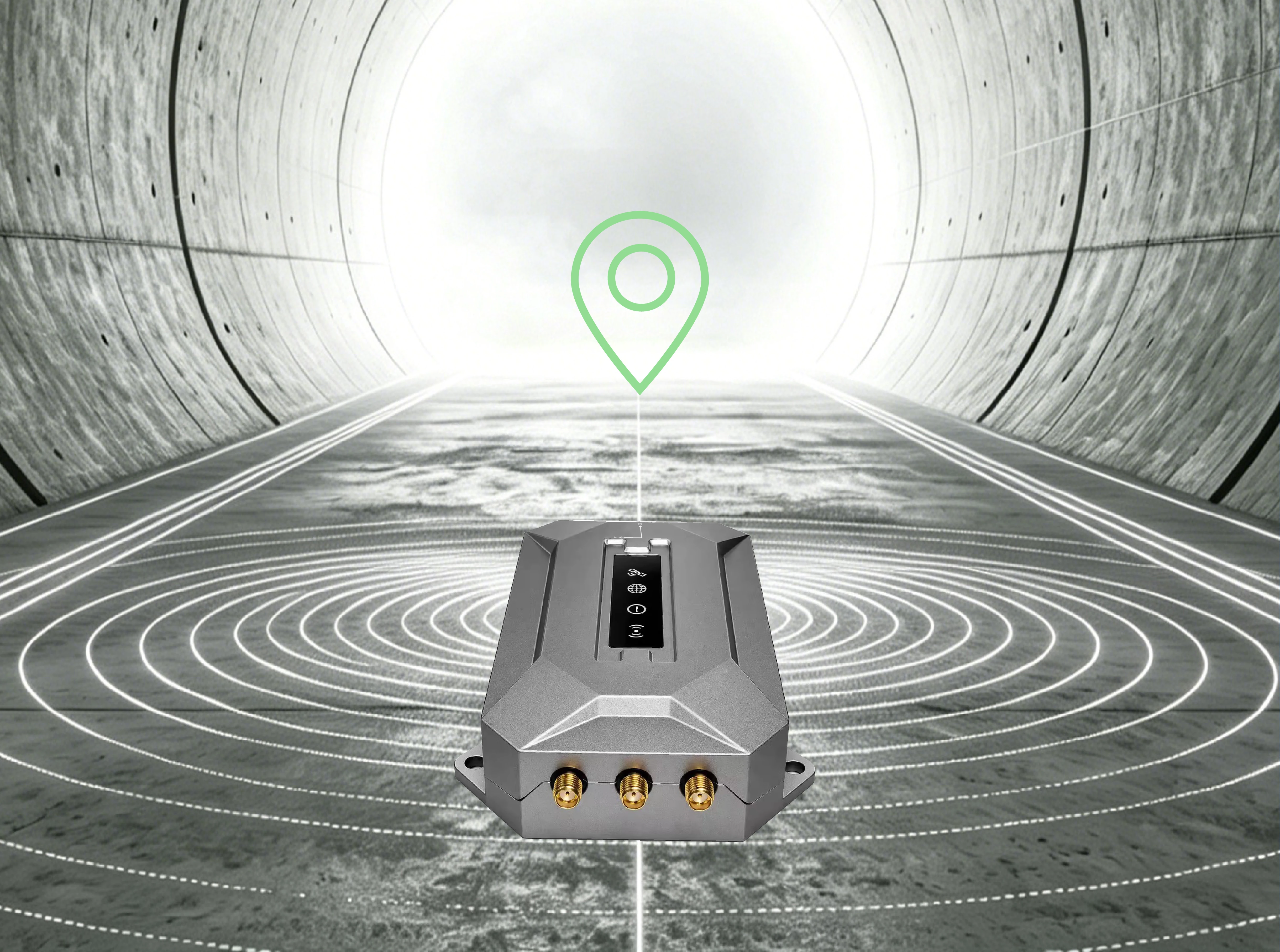
When satellite signals are obstructed or unavailable, the SV200 INS leverages INS technology to maintain continuous navigation. This enables reliable positioning and attitude tracking in tunnels, urban canyons, and other GNSS-challenged environments.

Entry-Level Solution
Offering an entry-level GNSS/INS solution, the SV200 INS is designed to deliver reliable positioning, heading, and navigation performance for autonomous driving, mobile mapping, and marine navigation applications.
Additional Benefits

Dual-Antenna Design
The dual-antenna design integrates primary and secondary GNSS antennas, enabling accurate heading information. This provides reliable orientation information for autonomous navigation, marine applications, and mapping platforms.

Multiple Interface Support
Supporting RS232, CAN, PPS, EVENT, and 4G, the SV200 INS integrates easily with external sensors, controllers, and onboard systems. Flexible communication options simplify deployment across diverse navigation platforms.

Small Size, Big Capability
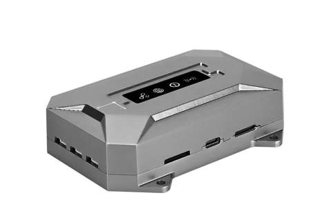
With dimensions of only 110.6 × 70 × 28.6 mm and a weight of 203.3 g, the SV200 INS can be easily integrated into space-constrained systems. The compact design simplifies installation while maintaining reliable navigation performance.

Reliable Operation with Power Protection
Engineered for long-term deployment, the SV200 INS delivers dependable navigation performance with an MTBF exceeding 20,000 hours. Integrated reverse polarity, over-voltage, and under-voltage protection help maintain stable and safe operation in demanding vehicle-mounted, marine, and industrial environments.
Industries & Applications

Unmanned Automation

Marine Applications

Vehicle Navigation
Specifications
| Channels | 1408 |
|---|---|
| BDS | B1I, B2I, B3I, B1C, B2a, B2b |
| GPS | L1C/A, L1C, L2C, L2P(Y), L5 |
| GLONASS | G1, G2, G3 |
| Galileo | E1, E5a, E5b, E6 |
| QZSS | L1C/A, L1C, L2C, L5 |
| RTK Accuracy | 8mm+1ppm Horizontally 15mm+1ppm Vertically |
| Velocity Accuracy | 0.03m/s |
| Heading Accuracy | (0.2/R)° R (unit: meter) is the distance of the baseline |
| IMU Type | MEMS |
|---|---|
| Gyroscope | - Bias Repeatability: 0.4°/h - Range: ±350°/s - Bias Instability: 1.6°/h (XY), 1.3°/h (Z) - Angle Random Walk: 0.08°/√h (XY), 0.08°/√h (Z) |
| Accelerometer | - Range: ±8g - Bias Repeatability: 15 mg - Bias Instability: 16 μg - Velocity Random Walk: 35 mm/s/√h |
| IMU data update rate | 100Hz |
| Size | 110.6×70×28.6 mm, including connectors |
|---|---|
| Weight | 203.3 g |
| Housing material | Aluminum Alloy |
Downloads
date:
size: 4.02 MB
Customer Reviews
No review has been published yet...