Barion Pixel

Blog

Geospatial

Tech Chat | What is Datums? ‑ A Practical Insight for Surveyors

Understanding the essence of geodetic datums is not just a theoretical exercise but a critical aspect of a surveyor's daily routine. When we talk about a datum, we're essentially referring to the reference point or "zero" point against which all measurements are made. In geodetics, where precision is paramount, this point is crucial for accurate comparisons and measurements.
Read more
Geospatial

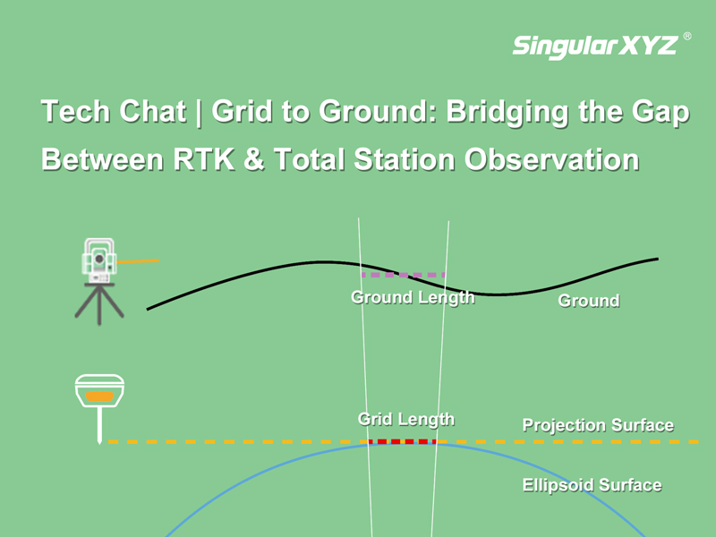
Tech Chat | Grid to Ground: Bridging the Gap Between RTK & Total Station Observation

In precision measurement projects, the seamless integration of total stations and GNSS equipment is essential. Surveyors often find themselves balancing the use of total stations for accuracy in heavily obscured satellite signal areas and GNSS equipment for swift and precise measurements in open spaces. However, the combination between these two systems can introduce errors in the form of inconsistent grid coordinates from GNSS and ground coordinates from the total station.
Read more
Geospatial

Tech Chat | Enhancing Tilt Survey Accuracy: A Guide to Effective Pole Calibration

As the popularity of IMU tilt functions rises in the realm of RTK surveying, the undeniable convenience they offer becomes increasingly apparent. However, real-world applications often encounter challenges that can impact the accuracy and stability of IMU tilt surveys, such as complex environments, improper usage, or poor satellite tracking during IMU initialization. In this blog, we address these challenges and introduce a practical solution – Pole Calibration – to enhance the reliability and stability of tilt survey measurements.
Read more
Geospatial

Tech Chat | Efficient Communication for Resolving Technical Issues ‑ Chapter 1 Geospatial Questions

When using high-precision GNSS products and solutions, encountering various technical questions is inevitable. These issues may arise from various factors, such as setting errors, equipment malfunctions, or environmental conditions. Timely and detailed feedback is crucial for expeditious problem resolution and saving your time for communication. This blog outlines essential information to provide when reporting technical problems and offers specific instructions on effective communication with SingularXYZ technicians.
Read more
Geospatial

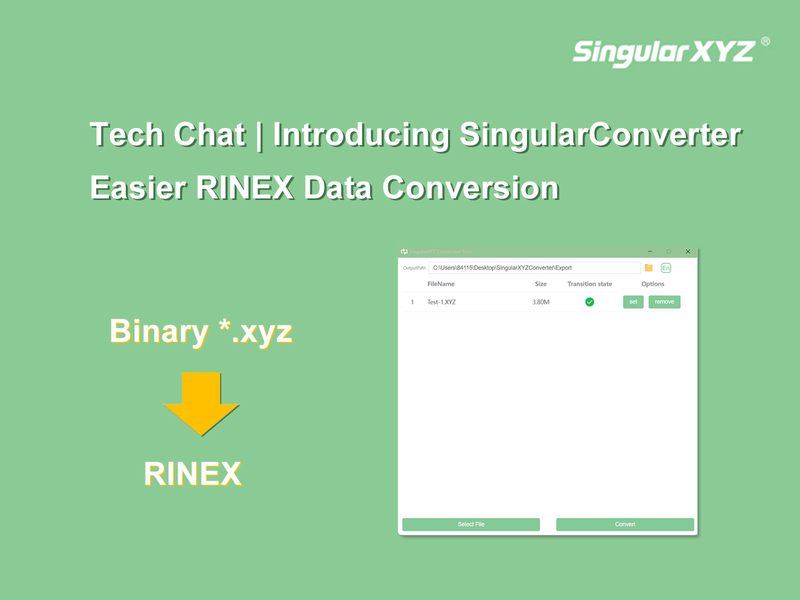
Tech Chat | Introducing SingularConverter: Easier RINEX Data Conversion

In the realm of GNSS applications, beyond Real-Time Kinematic (RTK) surveying, static surveys play a crucial role. Often, the raw static data recorded by GNSS receivers is stored in a binary format to optimize storage space. However, for post-processing, the industry-standard RINEX format proves to be more readable and is widely employed in various static post-processing software. Today, let's delve into a useful tool, SingularConverter, designed specifically to convert binary data in the *.xyz format to RINEX data.
Read more