Barion Pixel

Blog

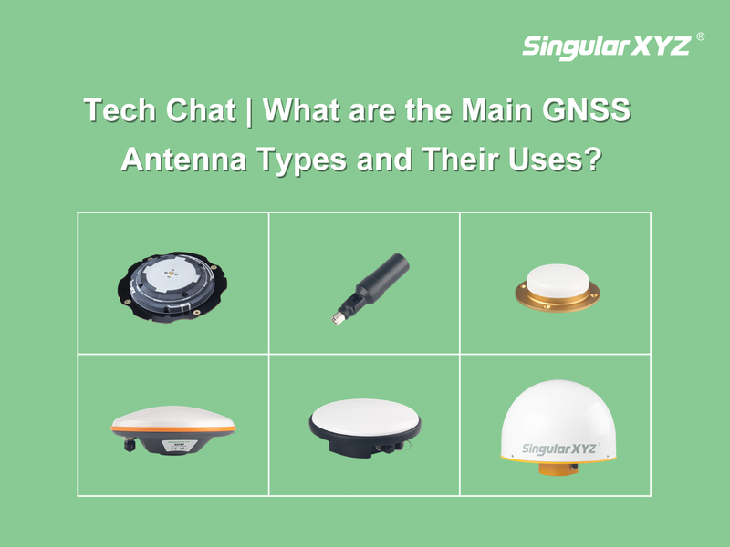
Tech Chat | What are the Main GNSS Antenna Types & Their Uses

In GNSS related applications, the GNSS antenna is the first crucial step - receiving satellite signals. The GNSS data quality decided the final positioning accuracy in a large range. Whether you're doing centimeter-level land surveying, precision agriculture, or vehicle navigation, understanding the antenna types and selecting the right one can directly impact your positioning performance. So what types of GNSS antennas are commonly used today? What are their features, advantages, and where are they best applied? Let's have a comprehensive knowledge and comparison.
Read more
Geospatial

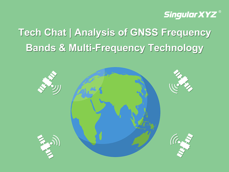
Tech Chat | Analysis of GNSS Frequency Bands and Multi‑Frequency Technology

Global Navigation Satellite Systems (GNSS) are pivotal in providing accurate positioning and navigation services worldwide. Each GNSS system operates on a specific set of radio frequencies that enable the transmission of navigation signals. These frequencies are essential for ensuring that systems remain independent, prevent interference, and provide robust signals in various environments. In this article, we will explore the core concept of multi-frequency GNSS, examine the frequency bands of major GNSS systems, and discuss how multi-frequency technology enhances GNSS performance.
Read more

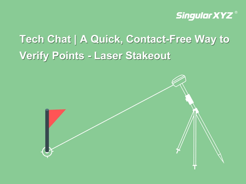
Tech Chat | Laser Stakeout ‑ A Quick, Contact‑Free Way to Verify Points

In previous posts, we introduced how Orion ONE combines AR and laser technologies to bring smarter solutions to the field. While AR stakeout provides intuitive directional guidance by overlaying point locations onto the real world through the camera, the built-in laser offers another layer of convenience in stakeout. But how exactly can the laser be used in stakeout? Let's take a look.
Read more
Geospatial

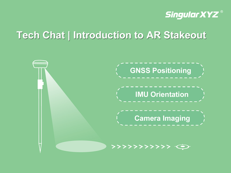
Tech Chat | Introduction to AR Stakeout

In recent years, AR (Augmented Reality) technology has brought a fresh visual experience to traditional GNSS stakeout work. Instead of relying solely on numerical data and compass directions, surveyors can now intuitively see the design points and stakeout guidance overlaid on the real-world scene. In this blog, let's take a deeper look at how AR stakeout works and how it is implemented in SingularXYZ solutions.
Read more