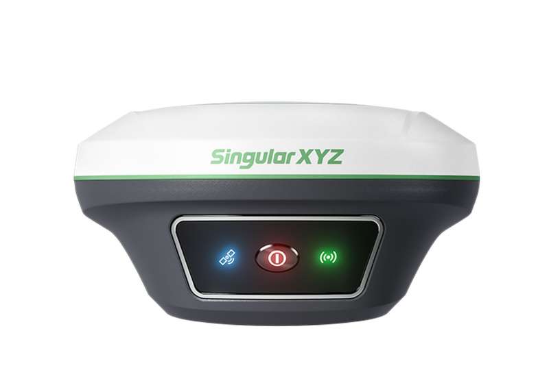
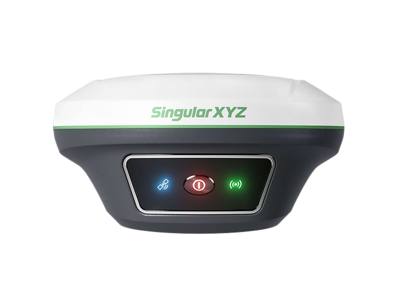

Key Features

Precise Visual Surveying
Powered by an HD starlight camera and advanced visual algorithms, Horus enables visual surveying through capture, tap, and measure. Users can obtain centimeter-level photogrammetry results quickly and intuitively, without complex post-processing.

Camera-Assisted Laser Surveying
Combined laser surveying with back camera, the Horus provides clear visual-assisted targeting for clear and precise aiming of non-contact laser surveying, extending the surveying range up to 120m range.

Dual-Camera AR Stakeout
With dual-camera integration, Horus enhances AR stakeout through auto distance-based switching — the back camera for long-range points and the bottom camera for close-range guidance, ensuring the most intuitive and accurate view for every stakeout.
Additional Benefits

Efficient Visual Surveying Workflow
Horus enhances efficiency by capturing multiple points from a single photo while preserving all image records for verification or missed-point recovery, helping you see every detail and get more done with ease.

Visual Data Ready For 3D Modeling*
From image capture to modeling, Horus generates high-quality visual data ready for seamless integration with third-party post-processing software, simplifying 3D modeling and mapping.

New Generation IMU
Supporting up to 60° tilt compensation, the IMU module ensures stable and precise performance — providing a robust foundation for visual surveying, laser surveying, and pole surveying alike.

Full-Constellation Tracking
Horus tracks GPS, BDS, GLONASS, Galileo, QZSS, and NavIC simultaneously. Advanced anti-interference algorithms ensure fast, reliable FIX even in urban canyons, dense forests, or signal-challenged areas.
Smart Engineering in Every Part
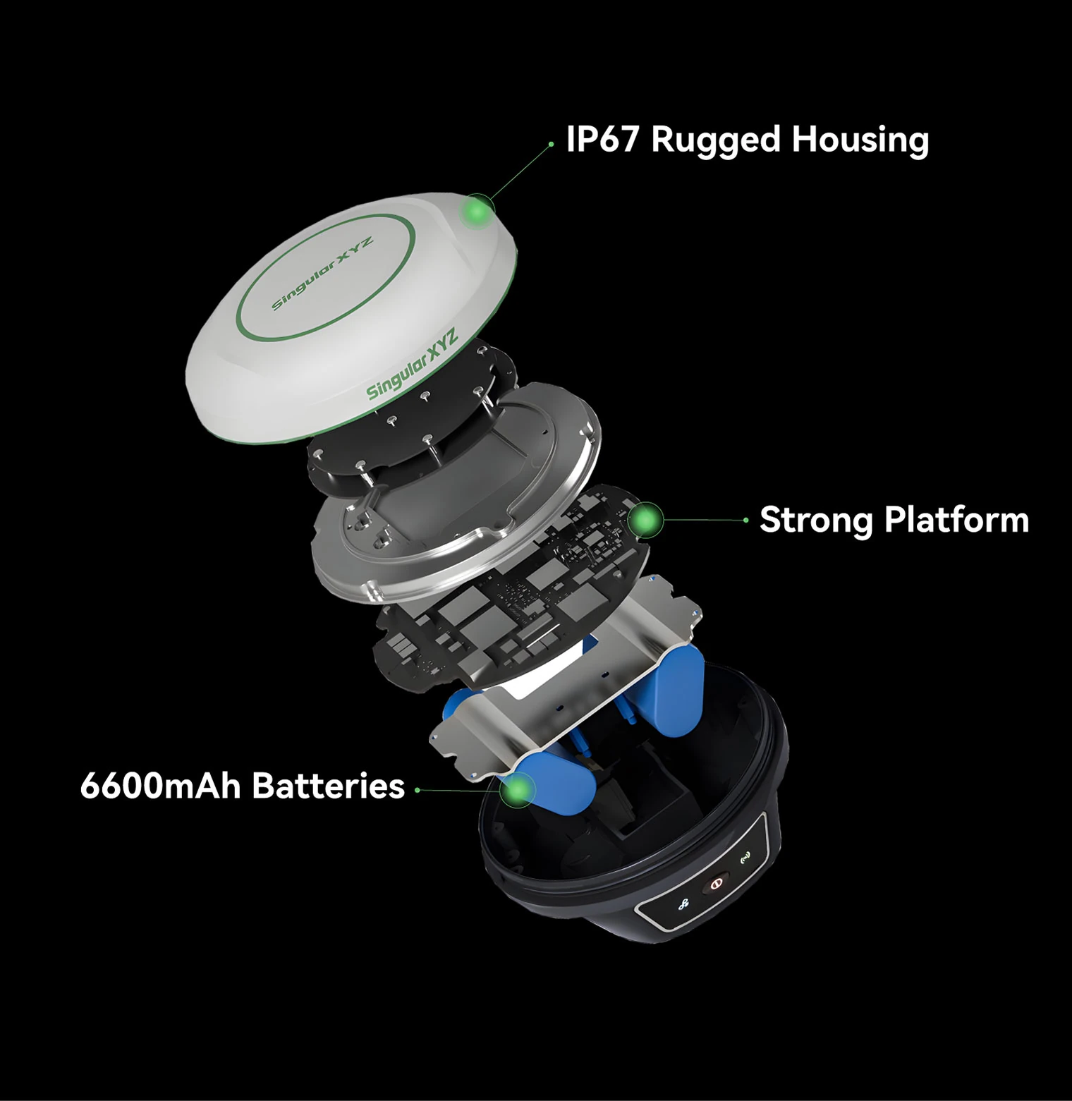
Every component of Horus is built for endurance and intelligence —6600 mAh batteries supports 12 hours of continuous work, an IP67 Al-Mg housing withstands 2 m drops, and a quad-core platform with 2.0 Tops NPU powers advanced processing.

Seamless Connectivity
Featuring NFC, Bluetooth, Wi-Fi, USB Type-C, and 8 GB onboard storage, Horus simplifies device setup, data transfer, and system management — connecting effortlessly to your preferred workflow.

Flexible Work Modes
- Static Measurement: Record static with 8GB storage, downloadable via web UI.
- Internal Radio Mode: Achieve up to 15km range with the built-in UHF radio.
- PDA CORS Mode: Connect through Bluetooth, easily access to local CORS via PDAs.
Software & Platform

SingularPad Field Surveying Software
SingularPad, an Android-based professional field software, is designed to meet diverse surveying needs. Paired with the innovative Horus, it's enhanced with Wi-Fi data interaction, visual surveying, AR stakeout, and laser survey capabilities.
Industries & Applications

Land Surveying
Specifications
| Channels | 1408 |
|---|---|
| BDS | B1I, B2I, B3I, B1C, B2a, B2b |
| GPS | L1C/A, L1C, L2C, L2P(Y), L5 |
| GLONASS | G1, G2, G3 |
| Galileo | E1, E5a, E5b, E6 |
| QZSS | L1C/A, L1C, L2C, L5 |
| SBAS | WAAS, EGNOS, MSAS, GAGAN, SDCM |
| Platform | Quad-core 1.5GHz CPU, 2.0Tops NPU |
|---|---|
| Laser Sensor | - Class 3R, avoid direct eye exposure - Range: 120m* |
| Camera | - Dual-camera with 2MP global shutter - Frame: 25 fps |
| Communication | UHF/Bluetooth/NFC/WiFi/Type-C USB |
| Storage | 8 GB |
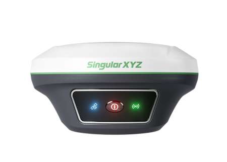
| Front panel | 3 LED indicators & 1 power button |
| RTK | 8mm+1ppm Horizontally 15mm+1ppm Vertically |
|---|---|
| Static Post-processing | 2.5mm+0.5ppm Horizontally 5mm+0.5ppm Vertically |
| Tilt Surveying | < ±2.5cm, within 60° Tilt Range |
| Visual Surveying | 2–5 cm @ 2–20 m range, typical |
| AR Stakeout | 8mm+1ppm Horizontally 15mm+1ppm Vertically |
| Laser tilt surveying | 3 cm @ 10 m range, typical |
| WebUI | Accessible via Wi-Fi |
|---|---|
| Battery | - 6600 mAh, up to 12 hours working time - Fast charge of 3.5 hours charging time |
| Size | Φ133 mm × 72 mm |
| Weight | 720g |
| Waterproof & Dustproof | IP67 |
Downloads
date:
size: 7.56 MB
Customer Reviews
No review has been published yet...