Geospatial
Tech Chat | Understanding Skyplots in GNSS Workflows
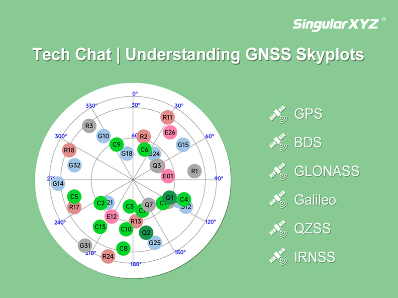
In GNSS surveying, understanding satellite availability and distribution is essential for accurate measurements. One of the most intuitive tools for this purpose is the Skyplot—a visual representation of the satellites above your survey point.
Read more