Geospatial
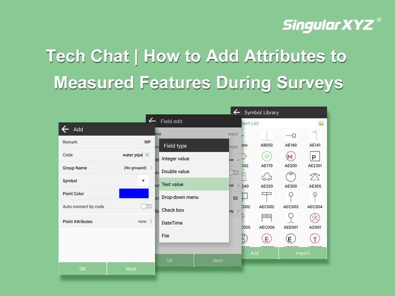
Tech Chat | How to Add Attributes to Measured Features During Surveys
As GISers and surveyors are familiar with, the geo-features come with a couple of attributes. Some are automatically generated based on the measured coordinates, such as the length of the line and the area of the surface. Others require manual addition based on the specific characteristics of the features, such as the area type, the model of a pipeline or some socio-cultural information. These properties can be used for subsequent data analysis and thematic map creation.
Read more