Geospatial
Tech Chat | How to Stakeout Points Using Azimuth & Distance
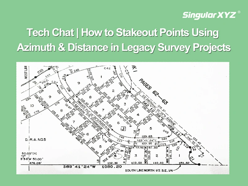
In modern GNSS surveying, stakeout tasks typically rely on maps with known coordinates. However, in some countries like the United States, Canada, or parts of Europe — especially when working with legacy survey maps, forestry records, or cadastral plans — point positions are are described not by coordinates, but by their azimuth and distance relationships.
Read more