Geospatial
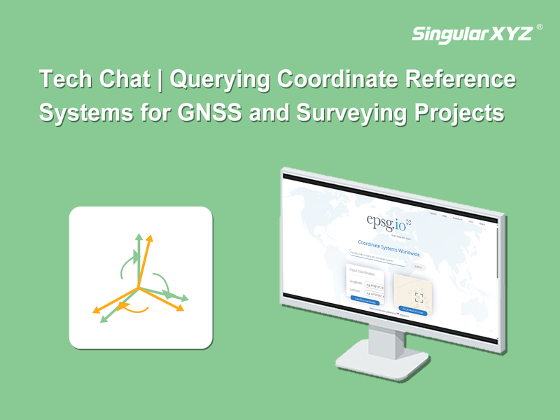
Tech Chat | Querying Coordinate Reference Systems for GNSS and Surveying Projects
When creating a new surveying project, setting the correct coordinate system is a critical step. SingularPad comes with a wide range of pre-defined coordinate systems, covering many commonly used national and regional standards. In most cases, users can simply select the appropriate coordinate system from the built-in list (refer to our previous tutorial 6 Steps to Master RTK Surveying | Step 2 - New Project).
Read more