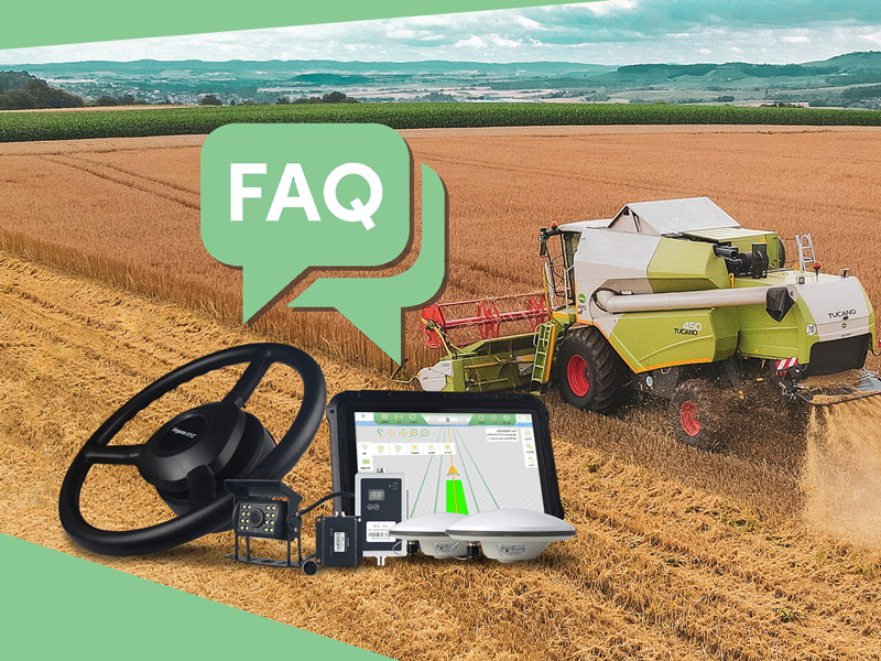
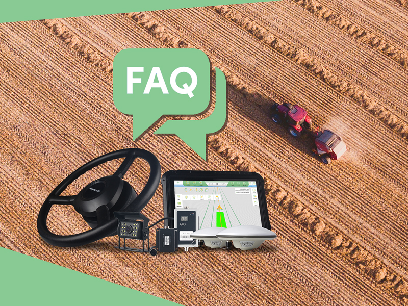
In order to help our users get started easier with SAgro100 automated steering system, in the last blog, we have summarized the questions during its signal connection.
During the past year, SAgro100 automated steering system has helped many farmers in different countries and areas improve their working efficiency and productivity. Our support team has also solved various technical questions for our users. In this blog, we have summarized the questions frequently asked by our users and provided relevant solutions, hoping to facilitate your use.
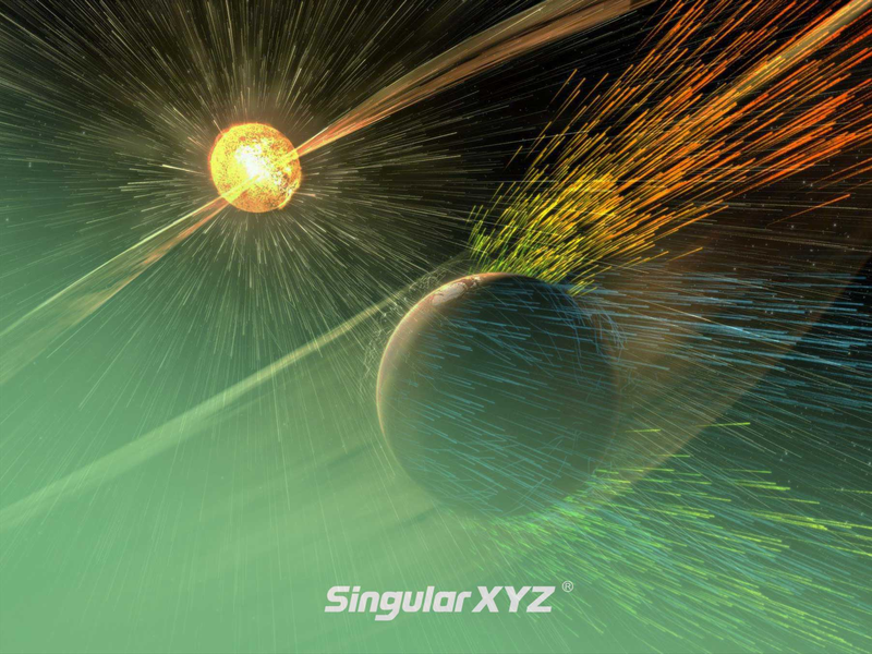
For sophisticated surveyors, you may have experienced a time when RTK equipment suddenly became difficult to fix, even with perfect equipment in an open sky view. After that everything went back to normal. This is most likely caused by a solar storm.
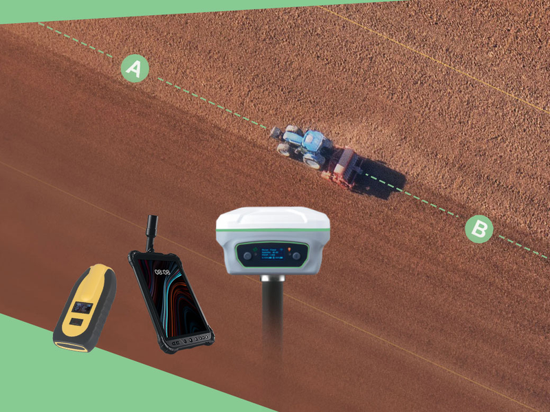
When using an auto-steering system for farming tasks, the first thing is to create the route. In common Straight line mode, normally we will drive the tractor to the start of the line to mark point A, and drive to the end of the line to mark point B. Then the software will generate the auto-steering route based on these two points.
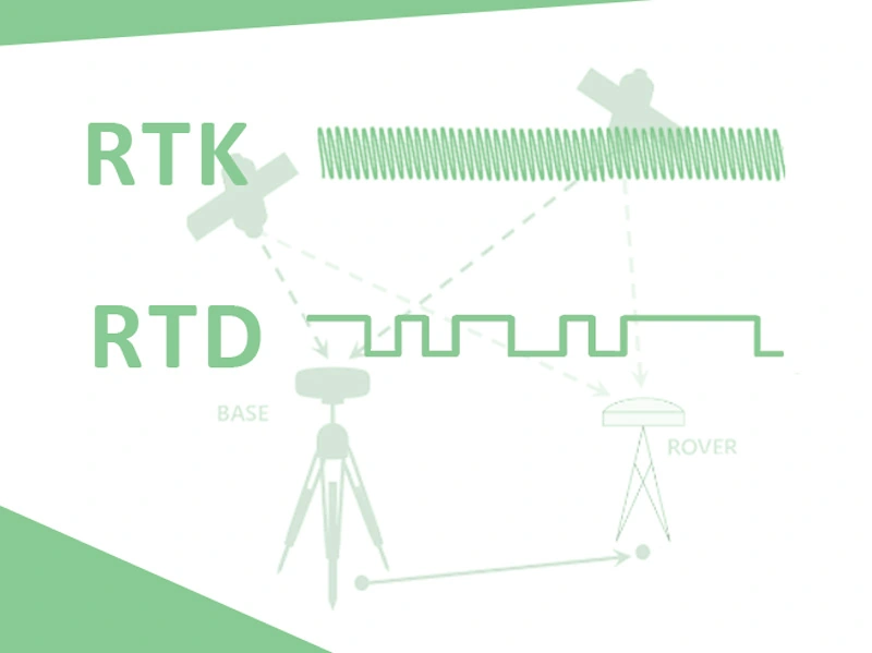
In order to obtain higher accuracy of GNSS, we usually use DGPS (Differential Global Positioning System) to help improve accuracy. Both using the differential data to correct GNSS positioning, what’s the main difference between RTK (Real Time Kinematic) and RTD (Real Time Differential)? And what are the differences in their application fields? Let's discuss it in today's blog.
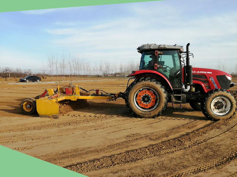
No matter in agriculture or construction industry, the land leveling as first step shows great importance for subsequent working procedures. For new users of land leveling systems, they may be faced with a choice – the laser land leveling system or GNSS land leveling system?